4000 x 4000 px | 33,9 x 33,9 cm | 13,3 x 13,3 inches | 300dpi
Data acquisizione:
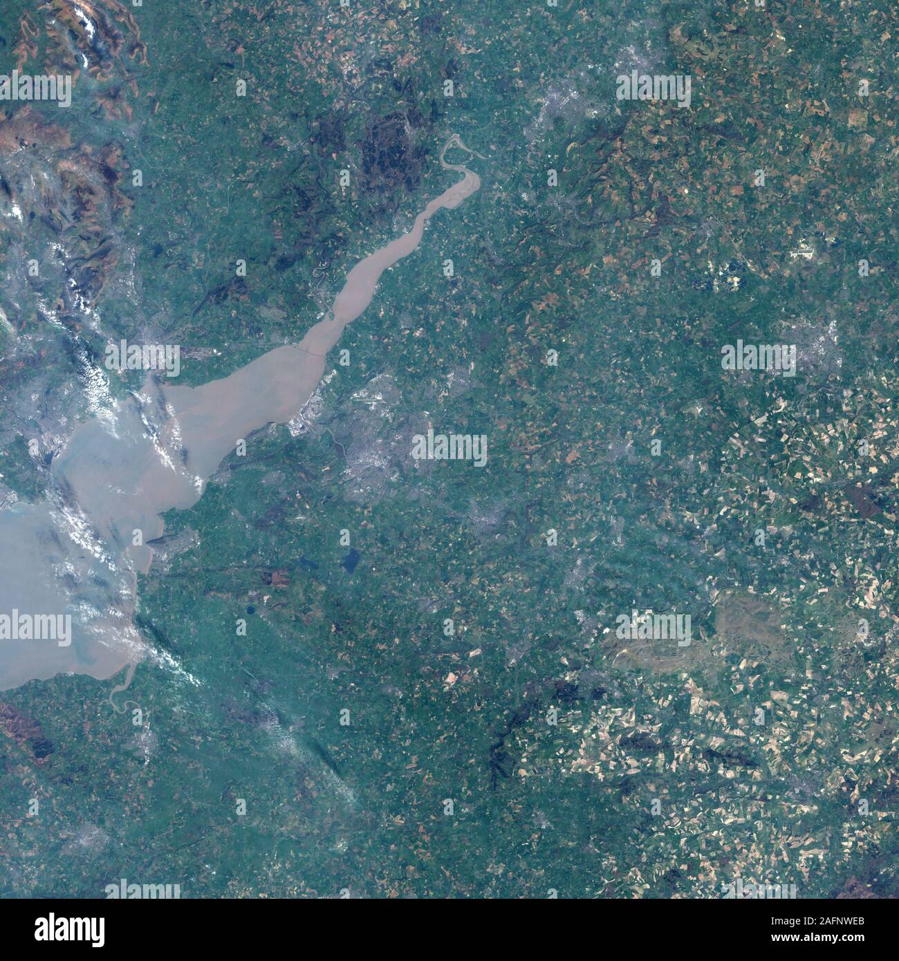
20 gennaio 2006
Altre informazioni:
Questa immagine potrebbe avere delle imperfezioni perché è storica o di reportage.
pproximately 160 kilometers (100 miles) southwest of London, the city of Bath in southwest England has made history in several ways. Underlain by Britain's only hot mineral springs, the city was built as a spa at least as early as the Roman era, and perhaps earlier, drawing thousands of visitors over the centuries who hoped for cures the waters might provide. The city was the site of various battles from the Anglo-Saxon era, around the 7th century, to modern times. On a more genteel note, it was home to Jane Austen for several years. Yet Bath has made another important contribution to history, namely in the making of geologic maps. Arguably the world's first published geologic map, released at the end of the 18th century, covered the area around Bath. The Enhanced Thematic Mapper Plus (ETM+) instrument on NASA's Landsat satellite captured this photo-like image of Bath on