6063 x 4035 px | 51,3 x 34,2 cm | 20,2 x 13,5 inches | 300dpi
Data acquisizione:
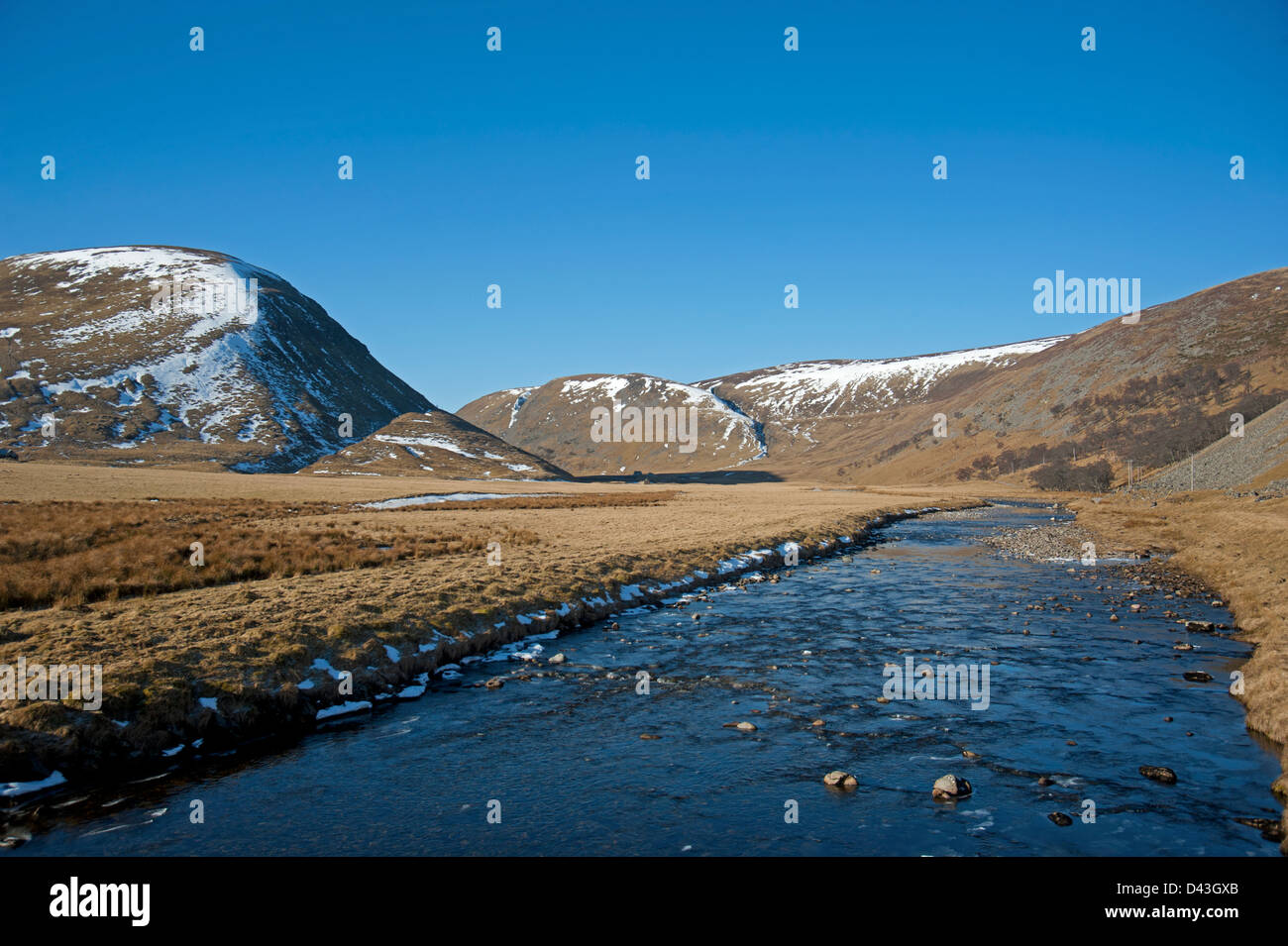
26 febbraio 2013
Ubicazione:
Coignafearn, Glen Mazzern, Inverness-shire. Highland Region. Scotland. United Kingdom.
Altre informazioni:
The main headwaters of the river are the Eskin and the Abhain Cro Clach. The Eskin rises far to the West as an impenetrable tangle of hills and gullies. It often gathers water from storm fronts marauding onto the West coast. The river, therefore, is subject to sudden rises and falls. River Findhorn - CoignafearnDown by the bay, the sun may be shining, but a sudden downpour at higher altitude may send a torrent of peaty brown water through the gorges of the middle river without the slightest warning of a summer storm. Even away from this extreme, the Findhorn is still a spate river and drops back to low water within days after all but the greatest of rises. In Spring, however, the steady snowmelt from the corries of the Monadhliaths generally keep the river at good fishing level well into May. In its upper reaches at Coignafearn Forest, the runs and riffles and some deceptively big pools provide excellent spawning territory. This is the home of Red Deer, Peregrine and Golden Eagle and is a truly wild place. The river descends through the delightful wooded glades of Strathdearn via Dalmigavie and Glen Mazeran on its route to Tomatin. Fish will normally start to appear here in early May when the water has warmed sufficiently (42° F) to allow them through the thermal barrier of the Poolie Falls at Sluie. An excellent variety of fishing beats are available around Tomatin.