10676 x 3684 px | 90,4 x 31,2 cm | 35,6 x 12,3 inches | 300dpi
Data acquisizione:
1 luglio 2018
Ubicazione:
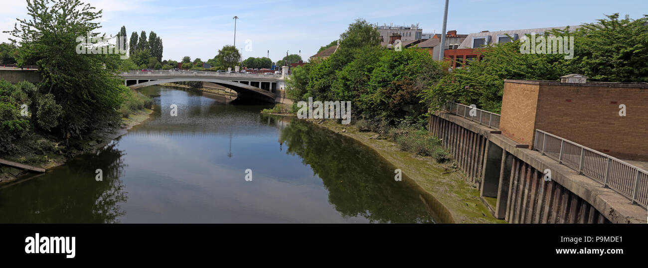
Bridgefoot, warrington, Cheshire, England, UK
Altre informazioni:
. A close documentary record captures the visible identity of Bridgefoot, warrington, Cheshire, England, UK, in this period view from 2018. The defining subject in the supplied record is White Bridge over the Mersey River at Bridgefoot, Warrington, Cheshire, North West England, UK , WA1 1WA. The location can also be described in terms of urban mobility, waterway maintenance, political controversy, managed watercourse, community debate, road safety, public administration, road connectivity, transport planning, local transport, navigation engineering, and vehicle access. In the mid-2020s, ageing lock and bridge infrastructure is increasingly discussed through volunteer involvement and safe public access, with attention turning to protecting blue-green corridors. For present-day editorial use, the public realm can also illustrate debates about redevelopment and shifts in local identity, particularly where these affect a clearer record of local change. Modern coverage of government priorities frequently reaches beyond the immediate scene to questions of local authority finance, migration and stronger public accountability. The date and location give the photograph archival strength: future views of Bridgefoot, warrington, Cheshire, England, UK may show different businesses, branding, services, architecture, traffic patterns or redevelopment, allowing clear before-and-after comparison. The view also records themes involving canal heritage, lock operation, river management, towpath environment, junction design, roadside commerce. Further recorded details include Warrington Bridgefoot, Bridge Foot, pano, panorama, Town centre, Warrington Borough Council. Other relevant facets include waterside infrastructure, hydraulic control, policy implementation, public services, strategic road network, industrial waterway heritage, highway infrastructure, boating infrastructure, motor traffic, and navigation channel.