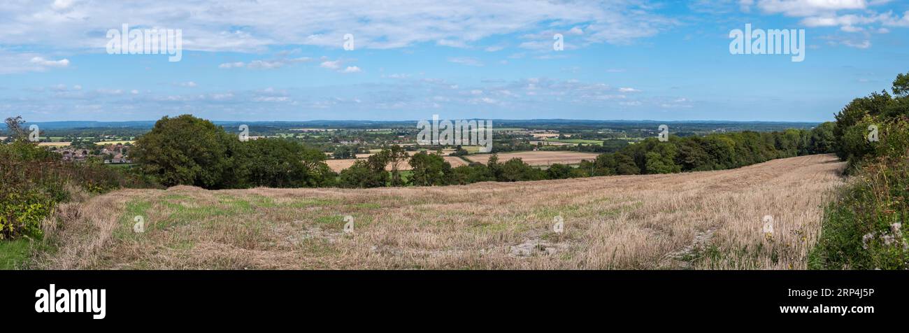
RM2RP4J5P–Vista a nord attraverso il South Downs National Park in prossimità di Ringmer (sulla sinistra) da vicino Glynde nell'East Sussex, Regno Unito.
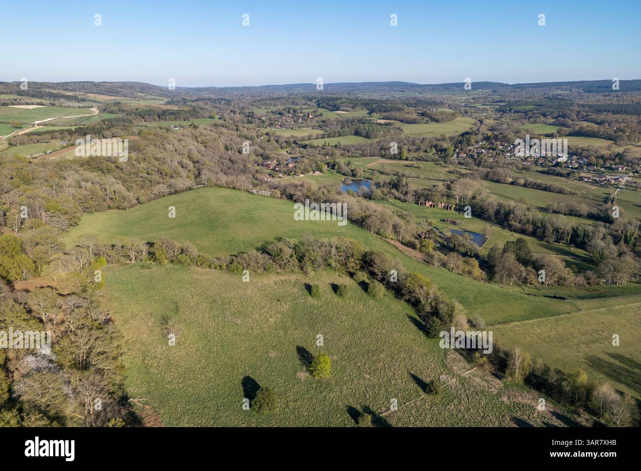
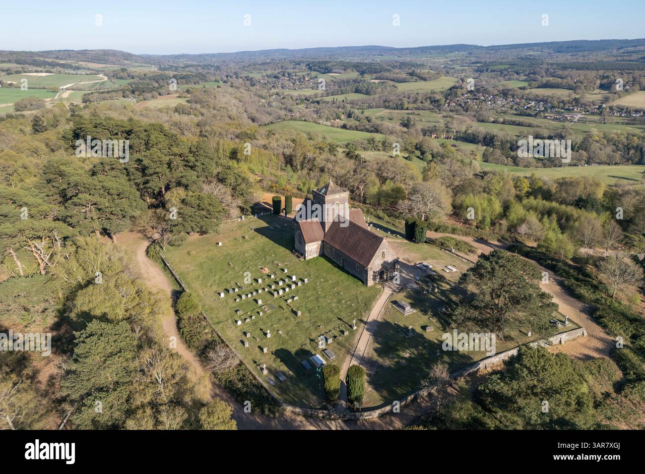
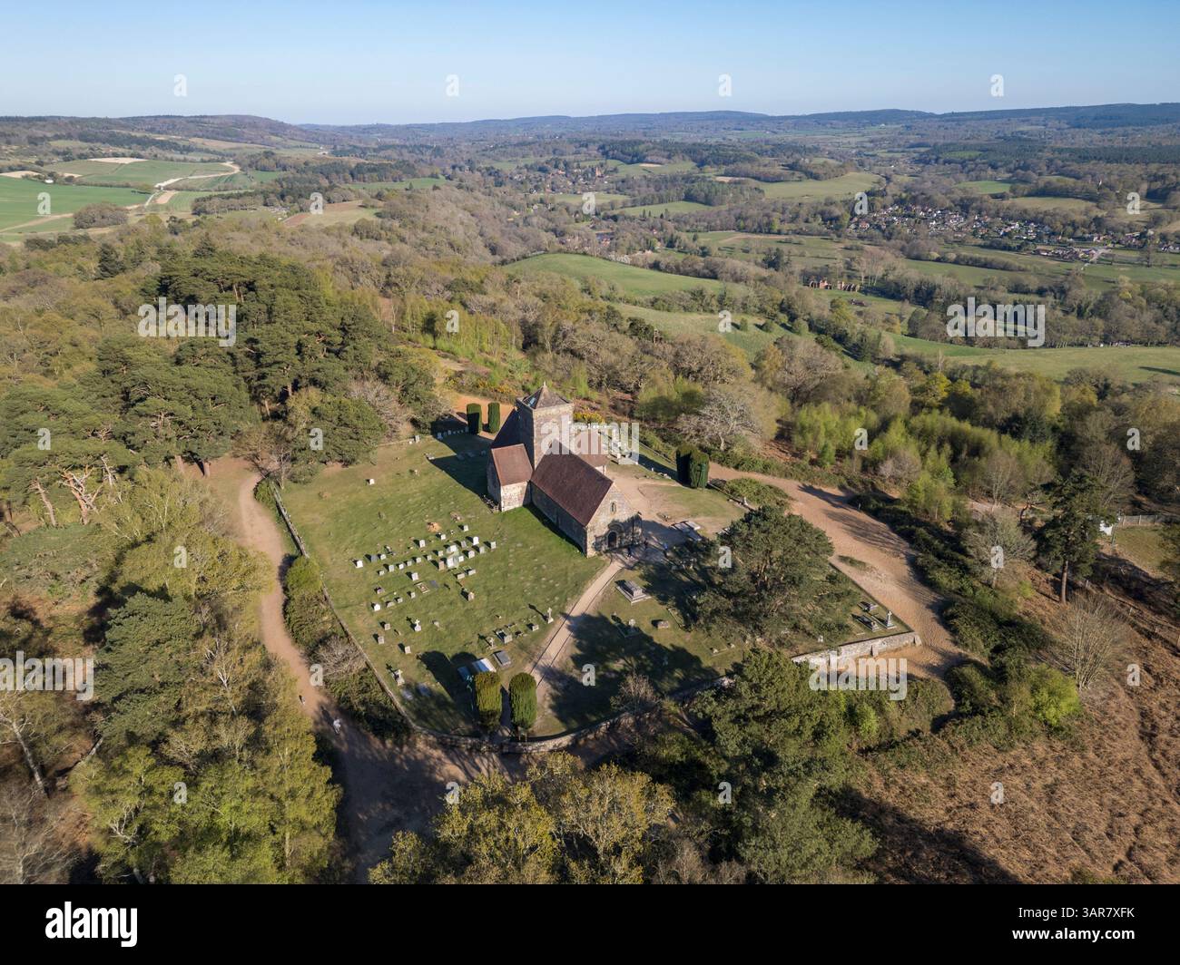
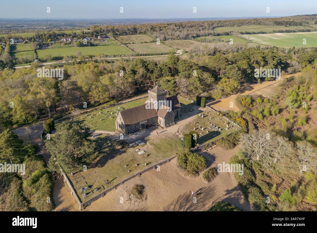
RM3AR7XHB–Veduta aerea della St Martha's Church, Chilworth, Guildford, Surrey, Regno Unito.
RM3AR7XGJ–Veduta aerea della St Martha's Church, Chilworth, Guildford, Surrey, Regno Unito.
RM3AR7XFK–Veduta aerea della St Martha's Church, Chilworth, Guildford, Surrey, Regno Unito.
RM3AR7XHF–Veduta aerea della St Martha's Church, Chilworth, Guildford, Surrey, Regno Unito.
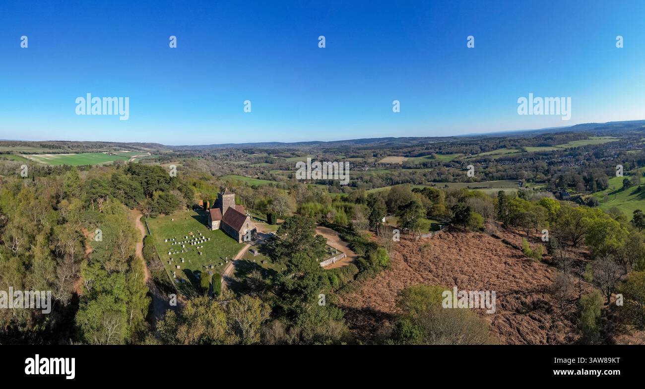
RM3AW89KT–Vista aerea panoramica della St. Martha's Church, Chilworth, Guildford, Surrey, Regno Unito.
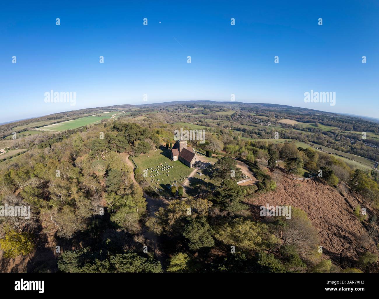
RM3AR7XH3–Vista aerea grandangolare della St. Martha's Church, Chilworth, Guildford, Surrey, Regno Unito.
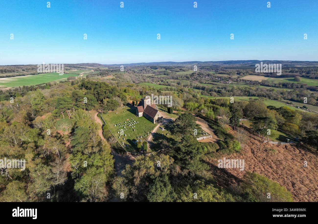
RM3AW89MX–Vista aerea panoramica della St. Martha's Church, Chilworth, Guildford, Surrey, Regno Unito.
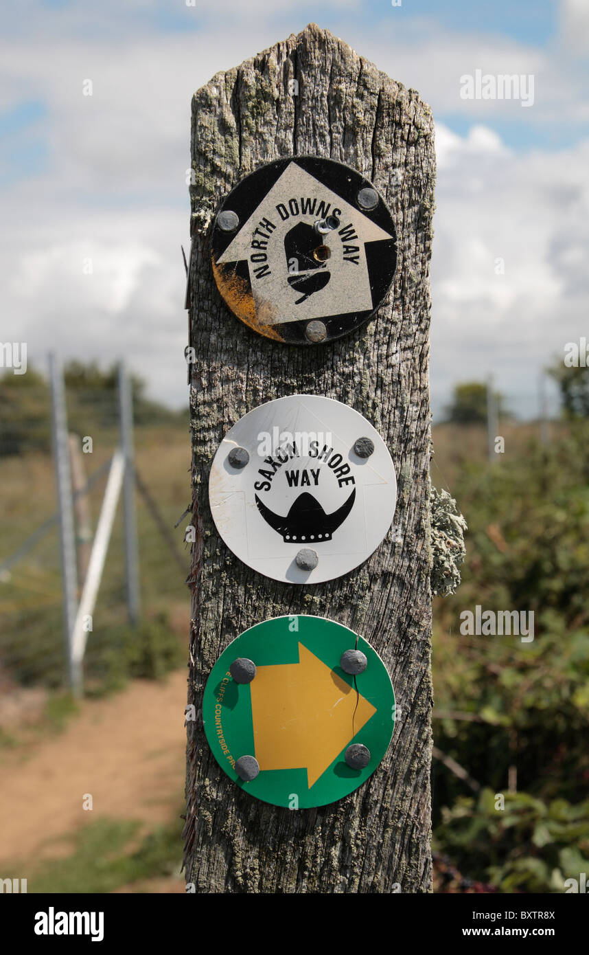
RMBXTR8X–Una miscela di sentiero pubblico segni (North Downs & Percorso Saxon Shore Way) su un post sul sentiero costiero nei pressi di Dover, Kent.