5065 x 3376 px | 42,9 x 28,6 cm | 16,9 x 11,3 inches | 300dpi
Data acquisizione:
9 giugno 2021
Ubicazione:
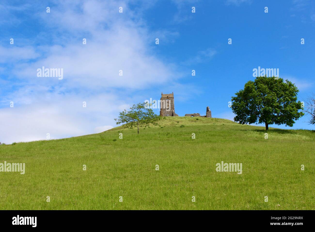
Burrowbridge, Somerset, England, UK
Altre informazioni:
Burrow Mump is a hill and historic site overlooking Southlake Moor in the village of Burrowbridge within the English county of Somerset. It is a scheduled monument, with the ruined church on top of the hill a Grade II listed building. The hill stands at a strategic location overlooking the point where the River Tone and the old course of the River Cary join the River Parrett. Although there is some evidence of Roman visitation, the first fortification of the site was the construction of a Norman motte. It has been called King Alfred's Fort, however there is no proof of use by Alfred the Great. A medieval church was built on the hill in the 15th century. The current ruined church on top of the hill was built in 1793. The land and ruin were donated to the National Trust in 1946 as a war memorial - Wikipedia
Disponibile solo per utilizzo personale ed editoriale. Contattaci per utilizzi commerciali
Puoi utilizzare questa immagini solo per contenuti editoriali o per l’uso personale. I contenuti editoriali includono l’utilizzo come riferimento visivo per coadiuvare un tuo articolo, storia, critica o testo educativo. L’uso personale ti consente di realizzare una singola stampa, cartolina o regalo per l’utilizzo non commerciale. Vietata la rivendita.
È vietato l’utilizzo commerciale, che include pubblicità, marketing, promozioni, imballaggi, pubbliredazionali e prodotti di consumo o per il merchandising.